Day 38: Zero in Kanab

Our best town day yet!

After 7 town stops, I’m finally getting the hang of how to swing ’em. It’s striking a balance between chores and leisure, food and sleep, wifi and social phone calls, route research and surrendering to a decision when you can’t bare to hem and haw anymore.

Kanab does an excellent job supporting all the above. As a town, it’s just compact enough to be walk-able (we love that for our legs). It’s just big enough that there are multiple compelling options for where we might eat each meal (we love that for our food cravings, which today stagger between sloshy burgers and crunchy vegetables). Kanab is also a welcome brain break. When we call Zion to run our planned alternate by a ranger, we get an immediate thumbs up. Good news? Confident endorsement?!

Everything’s coming up Team Double Weekend!

Come evening, we gather at Wild Thyme Cafe with our little Hayduke family for the last time. As we make for Mt Canaan Wilderness tomorrow, Silver is headed for the Grand Canyon, while Yeti and Melanie start their roundabout way home to Montana. As quickly as we formed, we disband in all directions. I’ll miss this constellation of hikers. We’re all so different — in age, story and the specifics of what brings us to the Haydyke. And yet, there’s so much we inherently share — in being fellow thru hikers and yearning for the same slow and independent method of travel through wild spaces. On a route that has felt emphatically solitary, it’s been a welcome comfort to count on community (and rides!) whenever we get to town. Community that has banded together to hunt/share whatever route information we can find. Community that has eaten very well together. Community that drinks beer together.

We circle outside the restaurant after dinner and hug each other in turn. The heat of unanticipated tears flickers in the corners of my eyes.

We shy from the finality of goodbye and instead reach for something light. Dare I say… ultra-lite. A hiker trash truism:

See you down the trail!

Hayduke Day 37: A is for Spaaaaciousness

If I just had one more hour in the day.

^ I can’t recall a specific moment I’ve had that thought, but I know the achy-want of it. Not so much recently, though. There’s much less achy-want for time when I’m free of my google calendar, which at home might direct — I don’t know — 10 of 15 waking hours? Regardless of wanting or not wanting an extra hour, I get one today. When we crossed into Arizona, the timezone shifted to Pacific Time.

How arbitrary!

Nothing has changed about the suns movement (beyond its slow march towards solstice, slipping in another minute or so of sunlight each day). But the hour we assign to its movement has changed, and so too, the way I hold it.

When I blink my eyes open, my watch says 5am. I feel fully rested and indulge in the irresistible story that I’m somehow “good” for waking up early. How arbitrary! The bonus hour gives me permission to sit and meditate. Meditation: another daily color coded block on my google calendar. I haven’t been doing much seated meditation out here. I haven’t needed the formal practice. Regardless of whether I’m sitting or walking or filtering water, awareness has felt close-in. This morning I sit more formally. I notice birds, breathing and thinking. Then Weekend and I leisurely pack up.

Back on route, the easy going miles continue! We decide that today, ‘A’ is for Spaciousness. It’s that spacious 😉 The trail winds through sparse ponderosa pine forests and sage brush flats. The well maintained AZT miles melt like butter.

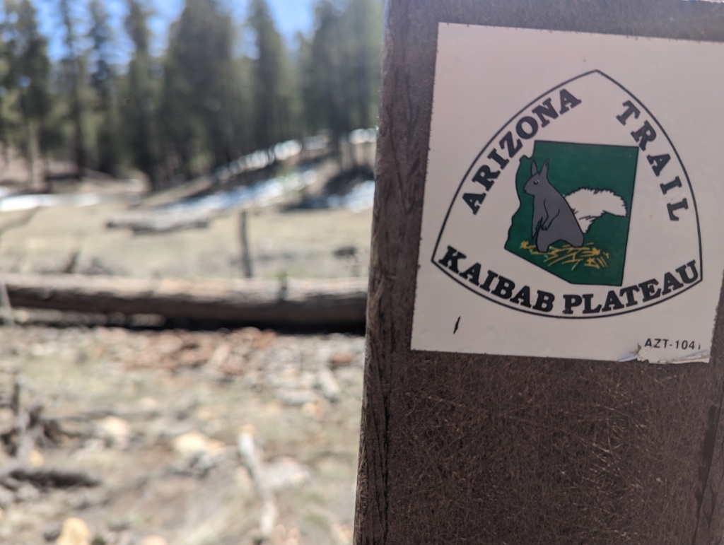
How long will it feel so easy? The North Kaibab Plateau ahead of us is snow bound; part of the reason we’re skipping ahead to Zion. I keep bracing myself for snow drifts to start surfacing as we near Jacobs Lake. I don’t see any snow worth reporting (must be melting fast). But I do see a Kaibab Squirrel! With its big fluffy white tail curled into a question mark. Kaibab squirrels live nowhere else in the world; only here on the North Rim of the Grand Canyon. How neat!

Didn’t get a picture of the squirrel, but here is her likeness on this trail marker

When we hit Highway 89a later today, we’ll head into town. On past trails, town days have been the kind of days where I hike without breaking or eating. The pull of the vortex! So strong! Lately, Weekend and I are trying out a new arrangement. Instead of racing ravenously towards town, we’ve been taking a long break just shy of whatever road crossing we’re planning to hitch down. A pre-town cool down. It’s made town entry less hectic. So this afternoon we break hard. We explode our packs, hydrate rice and beans, wave at the truck that trundles past, and chat with a trail runner. Spaciousness!

When we get to Highway 89a, we poke our heads over to the other side and find the snow we’ve heard so much about. Headed south from the trailhead it looks like post hole hell; deep snow glistening with melt under a blazing sun. Good thing we’re headed into town.

Cue our friend, Yeti! He appears at the trailhead and shuttles us straight to Kanab. We check into the Sun n Sand motel and the rest of the night feels like a languorous exhale. Shower. Friendly dinner with the gang (Yeti, Melanie + Silver). A good long sit on plastic chairs in front of the motel room. We journal and sigh and watch the motel’s florescent lights buzz and wink back and forth with the stars.

Hayduke Day 36: Cruising into AZ

Weekend and I have made a habit of slow mornings. Even as the sun rises earlier, we tend to roll out of wherever we called home for the night no earlier than 730am these days. Today, we try something new. A superfluous alpine start! We pack up under the milky way just as blue and orange start seeping upward from the horizon. The first few miles are slow, because navigating cross country without daylight is hard (should have seen that coming). Plus I keep needing to stop and watch the full choreography of light play out as day folds over the night.

Since we’re trying new things today, we wait for breakfast until the sun finds us. When it does, we pause, sip coffee, eat oats full of seeds and fruit and feel exceedingly smug to be alive and healthy in the desert. The views are spectacular; seas and wobbly peaks of slickrock.

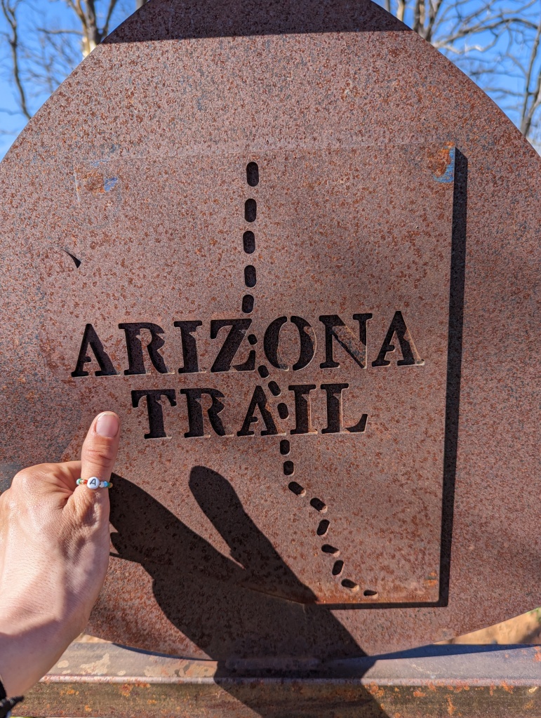
Before noon, we enter the state of Arizona. I yell “hip-hip-hooray” three times, a Koopmans family ritual I’ve been doing since forever to celebrate crossing a state line. And with Arizona comes the Arizona Trail (AZT). From here to the Grand Canyon, the Hayduke and AZT overlap. Before heading south on it, I walk over to the northern terminus monument. There’s a poem on it:
The aches and pains will fade away
You’ll feel renewed and whole
You’ll never be the same again
With Arizona in your soul

These few lines from the poem are a prophecy. Today is an aches fading, soul refurbishing kind of day. The trail is easy to follow single track. Some parts are burnt but remarkably well maintained. I don’t step over a single blown down (we are indebted to the trail crew we see working on this section!). Meanwhile, with a popular trail comes an abundance of information on water. The FarOut app tells us where the sources are, which are best and how to access them. I collect a few liters of clear cold delicious water from an elaborate rainwater catchment system. And when it comes time to camp, there are flat spots with views, tree shade and wind protection every few tenths of a mile.

My body feels fluid. My foot hits squarely on the well graded trail. My food hits the precise spot my hunger needs. The trail bends in such a way that the sun is always in a perfect position to ensure no direct sun finds my face.

I could go on. These are glory miles! Uneventful, easy-going glory miles.

Weekend and I pick one of the flat tree protected patches of dirt and make camp. The choreography of light is back, now in reverse. We watch the final flourishes of sunset as we brush our teeth. Good night, Arizona.

Hayduke Day 35: Buckskin Gulch and a Few Puzzle Pieces Snap Into Place

Only five miles till our cache! Which means once again, we reach our cache in the morning, and once again I sense that cache beers were really designed for an afternoon arrival.

We dig up our three orange buckets, take each item out one at a time, announce it, categorize it and pack it up. As with the other cache parties, spirits soar 🪁 Under its spell, ground chilled beer suddenly sounds delicious. AND we have service! Weekend calls the Grand Canyon backcountry office a few times to discuss updating our permit. Busy signal each try. Somehow three hours pass in cache party ecstasy. Before we hike down to cross highway 89, Weekend tries GCNP one last time. This time, it rings!

Caaaaache party 🎉


Ranger M answers. Right away, we know Ranger M is a pal. He gives us the new start date we want, the reroute we need, and weaves in some sharp humor. Weekend is bouncing on his toes as he hangs up the phone: “That was the Best possible conversation.” Best possible conversation!! We jump up and down and turn those three words into a jingle we sing on and off for the rest of the day.

I haven’t lost touch with reality. Tricky conditions are still bound to divert our first and second route choice through the Grand Canyon. Ranger M isn’t able to fairy godmother us a snow free northern Kaibab, tame water levels in Tapeats and Kanab creeks, or guaranteed mild temperatures on the canyon floor. BUT! He has helped us snap a few puzzle pieces into place. We know now we will flip ahead to do Zion before the Grand Canyon, which we hope gives the problematic tributaries time to bleed out. We know it will be a Grand Canyon finish! It all feels right and hopeful and good. Sometimes clear intention can bust a fog just as effectively as certainty.

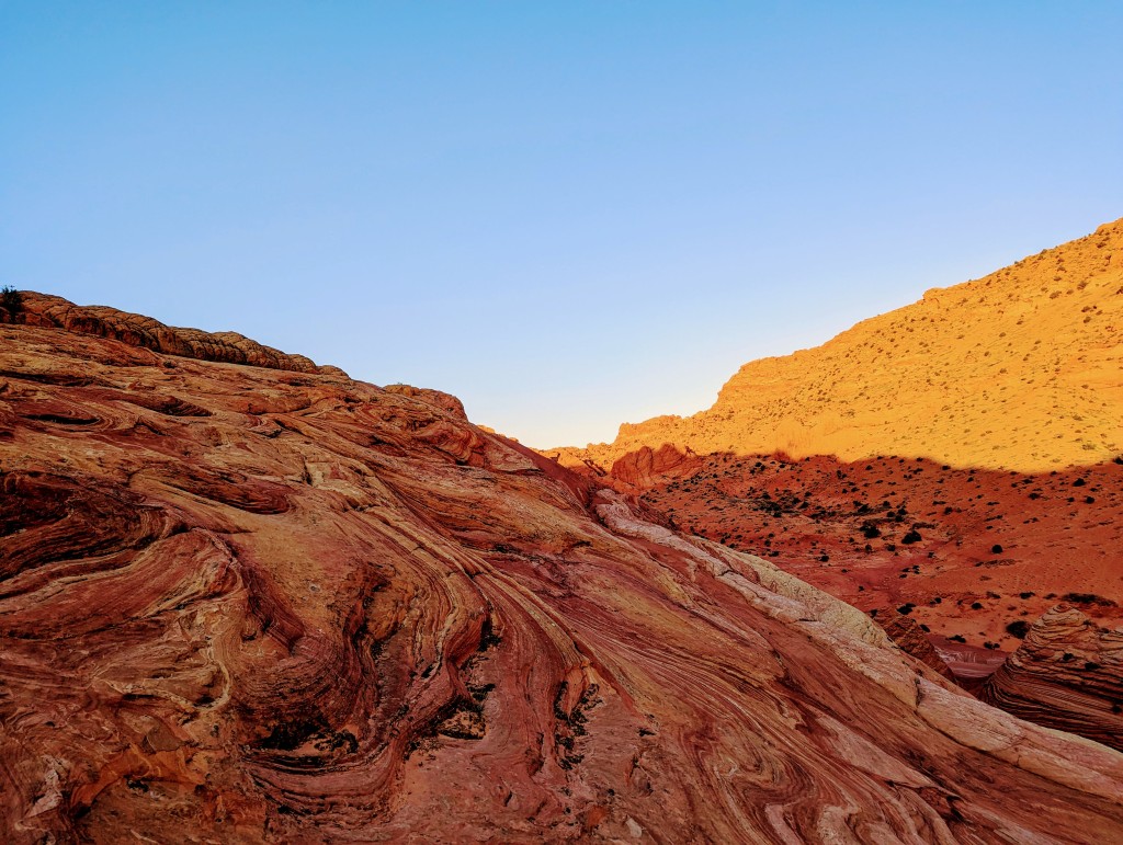
We ride this wave through ten miles of Buckskin Gulch. It starts green and rocky and becomes increasingly dramatic with each mile. After a road crossing, we walk between two high red walls, which feel like a gateway to a red kingdom. The red kingdom is the Coyote Buttes. The reigning king, Erosion. Coyote Buttes rises and swirls around us, red and orange lumpy cones of layered rock. The golden hour light does the wonder of this kingdom justice.


One of the hot tickets you come here for is Buckskin’s slot canyon. We hike through upper Buckskin and a mile of lower, necks craned up and on a constant awe swivel all the while. It’s just us this evening in the gulch until we run into two young women from Jackson Hole. They could not be more stoked for our Hayduke adventure and offer us Chewy Chips Ahoy.

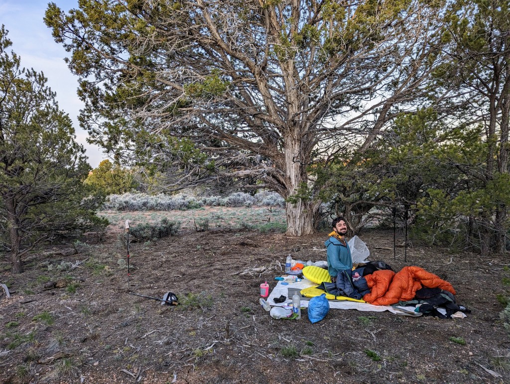
Weekend and I pick a spot to cowboy camp in the lee of a red dune. Another camp spot for our running Best Of list. A raven lands near us and watches us make and eat mac and cheese dinner. He’s there watching till it’s too dark for me to tell if there’s any more.

Slot city
Peek into Lower Buckskin
Wind making art

Hayduke Day 34: Bull Rush Hollow with No Rush About It

Our tent does its one job well last night. It keeps us dry. The rain stops an hour before we start moving. When I poke my head out of the tent, the world is aglow with sunrise. No puddles, the ground absorbed every drop of rain. She’s thirsty.

We pack up and say good morning to Silver Bullet who camped near us last night. Our first time camping near another human! A Hayduking human no less. We all agree, there was a lot of rain last night.

Walking through a damp morning reminds me of home, I think to myself. Then I see a douglas fir tree and question if I did actually somehow wake up in Washington.

Weekend and I are easily distracted as we slowly getting momentum. Collecting sherbert rocks. Forgetting trekking poles at the last place we picked up sherbert rocks. Stopping to watch the ground and trees release a tide of steam when the sun hits them. It’s a stop and muse at things kind of morning.

Why’d someone hang a bone from this tree?
Why’s this rock so cool?


We hike around to the head of Bull Rush Hollow. That Day-Glo green grass is back and the sides of the gorge are actively eroding as we pass through. The signs of recent rock and landslide keep us moving.

The walls of Bull Rush grow taller as we hike down further (as drainages often do) and consolidate into more solid rock. Solid rock that looks like towers of stacked plates, leaning into each other and somehow staying upright. What makes a single plate in those rocks? A flood? A year? We speculate and appreciate how much we don’t know.

What makes a plate?


After the gorge we join a dirt road down Park Wash. The rain last night makes for better walking on the sand. I keep remarking all day on how easeful everything feels. How pleasant, I announce out loud. And an hour later to no one but myself, How pleasant!

We stop at a funky abandoned cabin to eat lunch and hang our tent and sleeping bag to dry on a tree and wooden post respectively. The cabin has an old stove, some rusted furniture I can’t identify and two cots with mattresses. What would it take to sleep in one of those cots? Life or death, says Weekend.

Cabin with No Man’s Mesa is the background
Old looking windmill


The rest of the miles are flat easy walking. It feels good to let my legs unspool as many miles as they can before dark, past windmills and horses and dried up cisterns.

As the sun is setting, we start Campsite Watch. We’re poking around a grass field when we see a truck pull out from a driveway we didn’t notice just ahead. Whoops! Private property. A man hops out, not to chastise us but to check something in the dirt he’s very interested in. We have a brief, phrase at a time exchange.

“Start at the top?” He asks.
Who knows what ‘the top’ means.
“Cold morning I bet,” he adds.
I agree even though it was warm relative to our trip so far.

He has a gentle and kind presence. I wish I had more to say so I could stay near it.

“Good camping ahead?” I ask.
“More that looks like this.”

The length of the silence that follows tells me we’re done. We say goodbye and camp just at the edge of his property behind a stand of trees.

How pleasant!

Hayduke Day 33: Spendy Grand Views

We’re back at Willis Creek and fiending for Hayduke miles. Well, kind of. The OG Hayduke would keep us tucked within the Bryce Park boundary along the Under The Rim trail, but there’s still a lot of snow up there. Too much snow, we reckon. So we opt for an alternate down Grandview Trail, leading us south from Bryce. Goodbye, Bryce Fairyland!

We start by following Willis Creek and then a dirt road which at one point comes to a sign that states PRIVATE PROPERTY, NO HUNTING OR TRESPASSING. We see a house in the distance. “That’s a lot of vehicles,” notes Weekend. For some reason the quantity of vehicles parked around the house rattles us both. We decide to trespass because we don’t see a reasonable way around it. We hike tight against the edge of the Willis Creek wash, hoping the walls keep us out of sight. When we get close to their house we heads-down-speed-walk and jump their fence. My heart is pumping. Pretty please may none of those vehicles speed towards me.

Hours later we see the note in our guidebook that there’s an easement on the road through the property. Heh heh! I hope the residents saw me trying to be stealthy in my magenta colored shirt and metallic hiking umbrella and got a good chuckle.

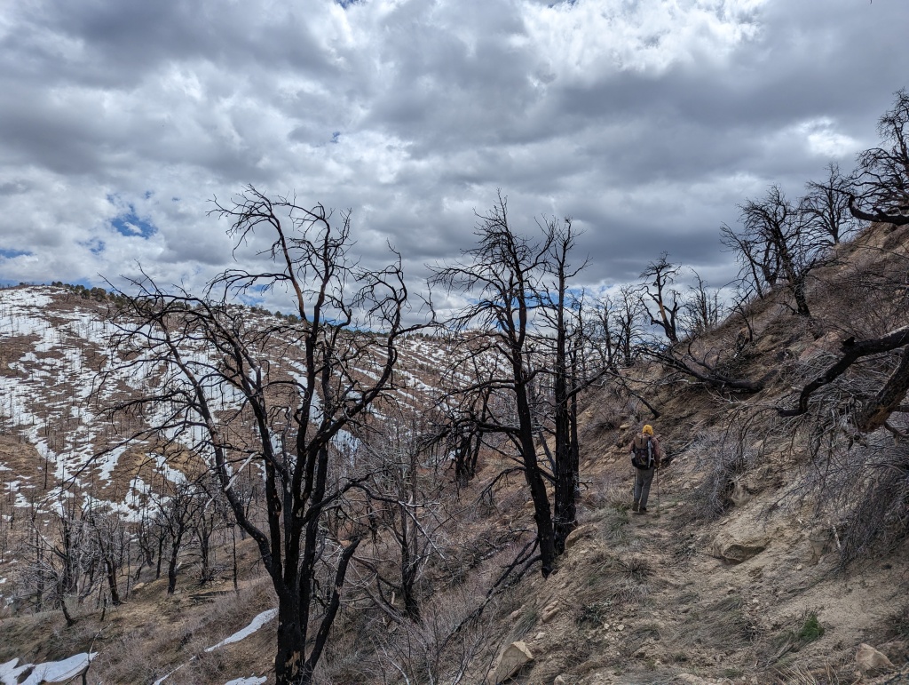
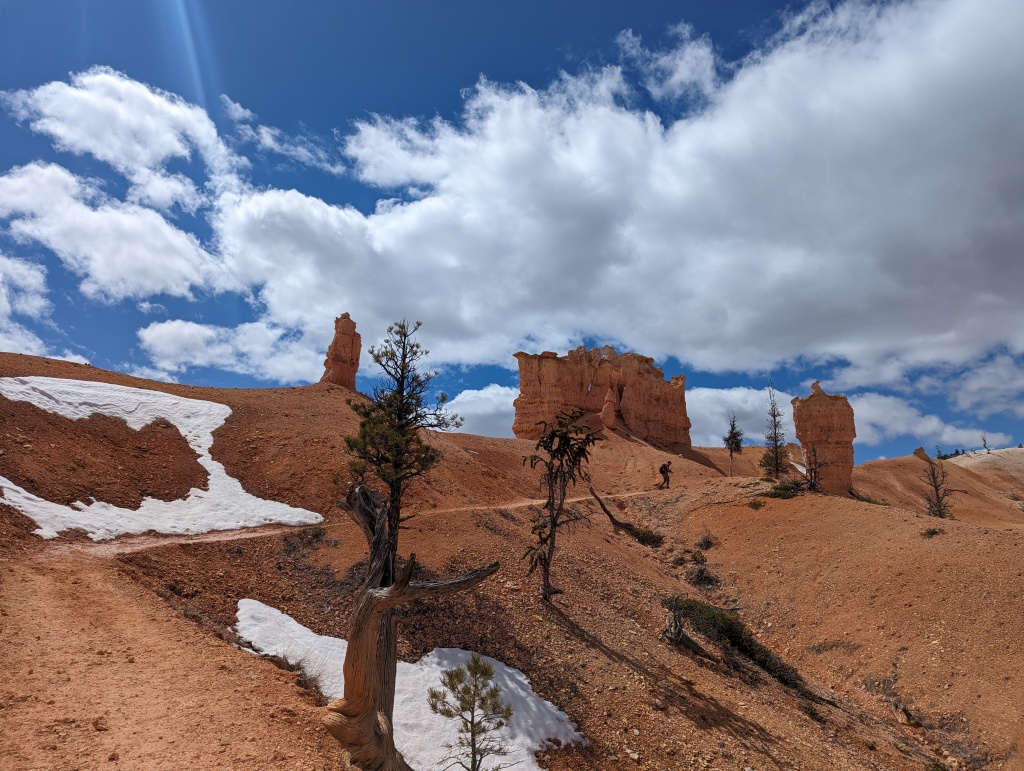
The Grandview Trail lives up to its namesake. Orange fins and hoodoos. Huge views of Bryce and the Kaiparowits plateau. The views don’t come for free though. There’s a big burn area with heaps of blow downs we clamber through. We contour along ten miles of drainages, against the grain. Which means we’re constantly climbing up and down, in and out. The north sides are covered in rotten snow I post hole through. The southwest sides are dry trail I cruise through. The contouring also means my right leg is uphill of my left most of the day. Weekend decides that ‘A’ is for Asymmetrical today.

The Grandview Trail also provides grand views of the storm systems roving across the Colorado Plateau. Heavy, dark clouds drag their whispy legs of precip from place to place. Eventually, one of the clouds sits on top of us. I excitedly break out all my rain gear, thrilled to justify carrying it. The rain stops as soon as I’m geared up. And so it goes.


At long last, we get off the hillside and into Lower Podunk Creek. It’s silty. But more carrot juice like than choco milk or chai latte.

We set up our tent under a stand of ponderosas, glad to have some protection as the storms keep roving.

I hope it rains, I say. For the atmospheric soundscape of course.

And ohhhh baby does it rain! Our tent walls thrum for six hours straight.

Hayduke Day 31-32: Bryce! And hi, I love hiking

Day 31 is a zero in Tropic (zero = no hiking miles). I know, another zero! I’m surprised by how often we’ve taken them on the Hayduke and I wouldn’t have it any other way. With conditions as dynamic as they are, it takes half a day to piece together what updates we can scrape from the internet and then validate them with what rangers are hearing in BLM field offices. And then, naturally, there’s eating to do.

The zeros are also angel blessings for our bodies. We’ve been feeling goooood since the achilles scare (forgot to mention, the Hackberry calf sting pulled a disappearing act by the next morning!). I have to believe the regular rest days are helping give our inner repair agents the time they need to mend all we’re breaking down and pulling apart with our desert tramping.

For this zero, I have two primary objectives. First, sew the hole in my pants. All my butt scooting over sandstone ripped a hole right along the seat seam. I mend it with floss and put up some prayers that it holds. Second objective: figure out what to do in Bryce, Grand Canyon and Zion. We grate our brains against this one. Every upcoming turn is impacted by the mega snow year and bumping water levels across the rivers and tributaries we’re aiming for. The hours of scenario planning off the basis of information that is likely already invalid exhausts me. I don’t want to grate my brain against the logistics anymore. I just want to hike!

Enter Day 32, a kind response to that desire. Today is the day we day-hike the heck outta Bryce National Park. Along with Silver Bullet, we head into the park from Tropic and hike all the trails that are open: Peek-a-boo, Queens Garden, Fairyland. This park blows my expectations out of the water. The hoodoos, windows and fins, all arranged to dramatic effect in shades of orange and pink sherbet.

How did this otherworldly feature come to be? The interpretative sign boards dotted around the park answer my question: frost wedging. It’s water at the potters wheel in Bryce. Rain and snow seeps into all the teeny tiny crevices of the limestone, then freezes, which then expands the spaces between and within the rock. 200 freeze thaw cycles per year allow this frost wedging to continually sculpt and resculpt the rock. Neat! I can hear the frost wedging at work as I amble around, sand and tiny pebbles dribbling from the walls. Living, moving rocks.

To further amplify the enchantment, my body sings all day. My legs and lungs are thrilled to be bopping around on National Park level maintained trail and breathing cold air. I read somewhere that Bryce has superlative air quality. I can’t remember if it’s the best air in the county, state or universe. It’s crisp delicious all the same. Before I can stop myself, I tell Weekend: I love hiking.

Obvious and yet strong enough of a knowing that it needs to be stated.

I love hiking.

Spy Weekend flexing his thru hike improved balance
Hi 👋
Weekend silhouettes and the back of Weekend’s head are my core photographer competencies this trip

Hayduke Day 30: Cold morning on the Paria

LOL, everything is frozen!

My socks are frisbees, my shoes are ice blocks, our sleeping bag is laced with frost. How did I sleep through an ice event last night?

I put on these frozen articles, with force, and immediately face my first of a fifteen river crossings only a few steps from camp, before I have a chance to generate any internal heat, all in the dank shadows of a canyon.

Let me tell you.

The discomfort born out of that combo of conditions is exquisite. After the first crossing, I shed cold animal tears. I tell Weekend (with unnecessary harshness) I will not do the next crossing, I’ll find a way around. But there is no way around. Commence Double Happiness meltdown.

The meltdown crests. And then, after fifteen minutes and seven more crossings, it recedes. Underneath it, a harder more resilient version of me is waiting.

This is part of what I am addicted to about thru hiking. That I can experience such an intolerable low and have no distraction from noticing how quickly it changes into something else.

Now the morning is cold, yes, but manageable. I splish through the Paria without wincing and celebrate the first slant of sunlight I reach by standing still in it until I feel its thin heat work itself thru the weave of my clothing. We’ve got you.

First slant of sunshine

Along the Paria, we find the panels of petroglyphs marked on our maps. A maze of thinly carved, wavy lines, connecting and bisecting different shapes. Meanwhile, the cliffs along the canyon have their own line that bisects 100s of feet of red rock, below 100s of feet of white rock. What geological event had to happen for this abrupt change from red to white? Weekend and I speculate.

If you zoom in you might make out the petroglyph lines
How’d you get to be the way you are?

We later connect with Willis Creek, which closes in and works itself into some excellent narrows. We’re winding through it, when who appears behind a bend… Yeti! “What took you so long?” He howls and laughs. This is our greeting everytime. What a charmed way to hike the ‘Dookie.

Yeti drives us up to Tropic. We check into the Red Ledges Inn. We have dinner with our trail family that’s formed: us, Silver Bullet, Yeti and his wife Melanie. Cold animal tears feel a world away.

Willis Creek Narrows

Hayduke Day 29: Yellow Rock and imagining what we’re all living thru

The smooth walled boulevard of yesterday shifts into a jumble of rust colored rocks this morning. It’s hectic to pick through. The cow paths I follow will suddenly drop off to nowhere and the canyon floor is carpeted with matted willows and tangled tree branches. Is this leftovers from the hundred year flood? Or maybe this place abides in perpetual chaos? I get the sense that this canyon has really been through something. Like looking at someones face that’s creased under a story; a story you are desperate to hear but don’t quite know how to ask for.

As we navigate through the tangle we try to keep our feet dry until we accept that dry feet are an utterly futile effort. Then we surrender to walking straight through the water. Forever a core tension and freedom in all my thru hiking.

Around a bend in the canyon, we run into a herd of longhorns. They too look like they’ve really been through something. The story behind these cows’ creases is self evident. They’re hungry. Emaciated. One stops behind the herd and stares and moos with every breath at us. I name him Daryl. I don’t think Daryl is healthy.

Hikers a week behind us will post photos of two dead long horns when they pass thru this same area, one looks just like Daryl 🥺

I gotta stop naming animals.

Hackberry Canyon
Signs of flash flood clinging to trees ten feet up
Hackberry, by another, redder aspect

As we splish splash down the end of Hackberry, it smooths out back into boulevard walking and soon we run into day hikers. One of them asks if we’ve found the dinosaur tracks. Dino tracks?! Nope. But my imagination is delighted to know they’re here somewhere. Weekend and I hold hands while hiking for a mile or two, a benefit of hiking a non-trail trail. So much space for two abreast.

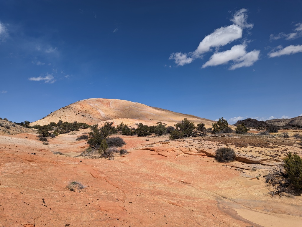
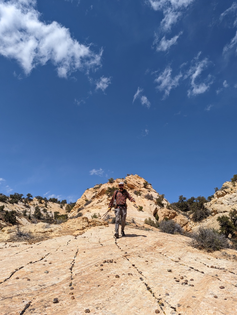
To connect with the Upper Paria River, our ticket north to Bryce, we opt for an alternate to Yellow Rock. It adds a climb and some route finding, but we have fun doing it. Yellow Rock is as advertised! A huge yellow rock. It’s more than yellow though. It’s melted creamcicle with swoops of vermillion powder. Well worth the side trip. A highlight of the section, even.

Hike up to Yellow Rock
Yellow Rock!
Hiking back down to the Paria
More colors and textures

Eventually, we drop down to the Paria River which is broad and braided and silty. Less choco-milk and more chai latte. I cross strands of the river every few minutes. At first this is a welcome cool down, but as the Paria miles wear on and the wind picks up and the sun drops, my Double Happiness temperature drops too. I get colder and colder until I know I need to make camp and get warm. We search around Hogseye Creek (the names of landmarks, a core delight of Utah) for something camp-able. It’s all cow trampled but we make a nest of sage brush work.

My shoes are already frozen when I put them on to brush my teeth.

Hayduke Day 28: Round Valley Draw

I wake up feverish, my sleep clothes clingy with sweat. Too hot to breathe! I tear open our sleeping quilt and flap it around to sweep cold air in. I experience relief for 60 seconds. Then my sweat, now cold, plummets my body temp. I shiver and bundle again.

^ I’ve been doing this routine lately. After a steady string of nights below freezing, my body’s climate control doesn’t know how to cope with mild temperatures. Or maybe I just need to be braver and sleep in fewer layers. As we say, be bold, start cold.

This morning I’m on my feet quickly. It’s cache party day! Yeti materializes right on time at 830 to swoop us from Grosvenor Arch. Yeti has officially adopted us and we’ve temporarily retired from hitchhiking. As long as he’s around, we have built in rides! Which is most excellent today because it means we can car zoom over the 7 bonus miles our car couldn’t cover one month ago when we buried this cache.

I find the cache easily thanks to the tower of cow pies I constructed on top of it. We dig up our buckets and explode their treasures. Then sort and pack those treasures as we destroy a box of Oreos.

When we buried this cache, it was dusky, raining and cold. I remember scanning the shrubland around me and thinking, I can’t live out in this terrain. What the hell am I doing? Turns out, I can and I am. Heh heh!

Yeti joining the cache party
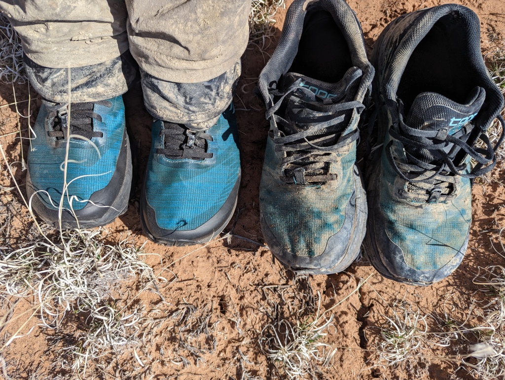
New shoes! 300 miles of the Hayduke left a mark

Yeti drops us back off on the route. Thank you, Yeti!! Next up is Round Valley Draw. According to the ranger in town, this area recently had a “hundred year flood” which complicates our planned descent into what our map describes as “EXCELLENT narrows.” Bummer. So instead, we follow a faint trail above the rim of the slot until we can scramble down to its floor and check out the slot from inside as well. The acoustics are bonkers. Bird shadows race across the 1000 foot canyon walls. I feel tiny.

Round Valley Draw narrows from above
And below

The Round Valley Draw narrows widen into Hackberry Canyon — a wide boulevard of sand between peach colored walls and yellow fins of rock. The wind is positively ripping. It sends small tornadoes of sand whipping around the bends of the canyon. My eyes and teeth (anything exposed and moist) crust with sand. The walking is tough too. My calves sting as I trudge through the sand. It’s an unfamiliar pain. I must be walking in sand wrong, I conclude. I make a mental note to Google “how to walk in sand without hurting yourself” when I’m in town.

Till then, it’s sand storms and stingy legs. I feel wrung out by the time we pick a sleeping spot under an overhang of rock. Oh to be horizonal. I worry over the calf pain while humming birds and bats flit around the dark. May sleep mend my legs 🙏

When the calf sting gets too much, we take a second salty. Weekend does a dramatic reading of the Wikipedia article for Grand Staircase Escalante NM and makes me laugh
You can try to hide. The sand will find you.